William Dargue A History of BIRMINGHAM Places & Placenames from A to Y
Outmoor
B33 - Grid reference SP159874
Well into the 20th century the shallow valley of the River Cole was always liable to flooding especially during the winter months. For much of the year the fields along the river were marshy boggy impassable swamps. However, during the summer months they provided fertile grazing for livestock. Valleys such as this were known locally as moors and the term survived, especially in field names.
Outmoor Farm stood at the east end of Leycroft Avenue. Its name, probably medieval, signifies that it was 'out of the moor', ie. above and beyond the boggy river valley. Outmoor Farm was described in 1947 as an early 17th-century house with walls mostly of timber-framing covered with rough-cast. It was a tall building of two storeys with two gables on each face. On each side was a chimney-stack with two pairs of conjoined octagonal shafts. The 1953 Ordnance Survey map shows that, although the west end of Gressel Lane was built up from Kitts Green, this was still countryside. The farm probably didn't survive long into the 1960s as Birmingham’s housing stock continued to expand into the previously rural areas around the city.
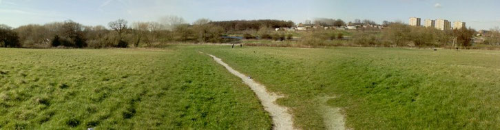
The photograph along the Cole Valley above by Hugh Watkins (All Rights Reserved) has Outmoor behind it and looks towards
Kingshurst. However, it shows the sort of landscape feature where Outmoor Farm was situated.
William Dargue 27.07.2010/ 26.07.2015
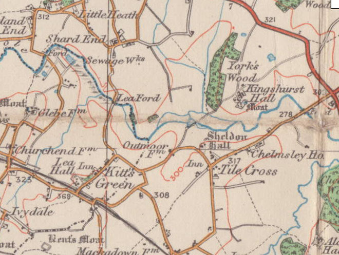
For 19th-century Ordnance Survey maps of Birmingham go to British History Online.
See also A Vision of Britain - http://visionofbritain.org.uk/maps/results.jsp?xCenter=3230648.6488865&yCenter=2913428.2476704&scale=63360&mapLayer=nineteenth&subLayer=first_edition&title=Ordnance%20Survey%20and%20Ordnance%20Survey%20of%20Scotland%20First%20Series.
Map below reproduced from Andrew Rowbottom’s website of Old Ordnance Survey maps Popular Edition, Birmingham 1921. Click the map to link to that website.