

William Dargue A History of BIRMINGHAM Places & Placenames from A to Y
Over Saltley
B8 - Grid reference SP102878
Its name meaning Upper Saltley, this hamlet lay around the junction of Alum Rock Road and Bowyer Road. This is the top of the hill leading from the old ford, now Saltley Viaduct, which crossed the River Rea. At the bottom of the hill was the hamlet of Lower Saltley.
The area was developed for housing in the late 19th century and much of the housing stock is still in use.
See also Saltley.
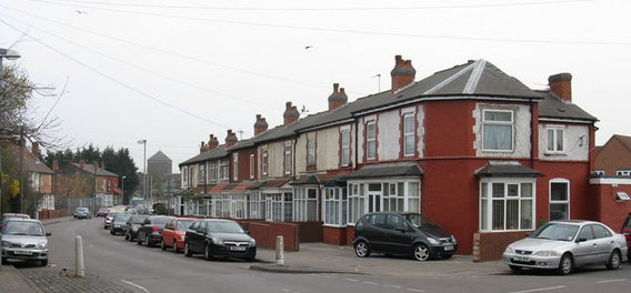
Above: Cherrywood Road, looking north from Burbridge Road. Image by Peter Whatley on Geograph SP1087 reusable under Creative Commons licence Attribution-ShareAlike 2.0 Generic (CC BY-SA 2.0).
William Dargue 23.12.2020