William Dargue A History of BIRMINGHAM Places & Placenames from A to Y
Griffins Hill
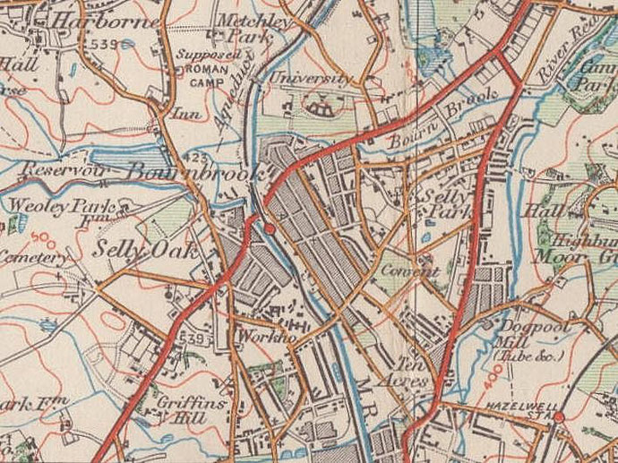
B29 - Grid reference SP036816
Located on the Bristol Road by the Selly Oak Colleges, this hill derives its name from a family who lived in the area before 1800. Similarly named is Griffins Brook which runs west-east north of Griffins Brook Lane into Wood Brook/ The Bourn at Bournville Lane. Griffins Hill is now a map reference rather than a district name.
Worth a careful look on the river bank - Just off the Bristol Road South in Cob Lane Park a burnt mound exposed by Griffins Brook was recorded in 1950. As a result of excavations in 1980 a
post hole and stake hole were discovered among burnt shattered pebbles and charcoal, evidence of a building perhaps. This is unusual: burnt mounds generally yield up only burnt pebbles and
evidence of wood burning. The wooden lining of the rectangular pit was radiocarbon-dated to c1190 BC. The exact purpose or nature of the process that created burnt mounds is not entirely clear.
Although this is clear evidence of a Bronze Age population, no settlement site here is known.
William Dargue 06.03.09/ 24.10.2012
For 19th-century Ordnance Survey maps of Birmingham go to British History Online.
Map below reproduced from Andrew Rowbottom’s website of Old Ordnance Survey maps Popular Edition, Birmingham 1921. Click the map to link to that website.