

Barnes Hill
B29 - Grid reference SP015826
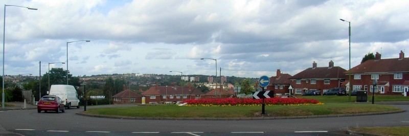
Barnes Hill is still in use as a streetname and is named after John Barnes, a master brickmaker who lived at Blakenell Corner. The 1851 Census recorded 11 households at Blakenell Corner. The name may be medieval meaning 'Blecca's/ Blaca's nook' or 'black nook.'
John T Smith contacted this site with information that his father's birth certificate in 1905 records the name as Blackmore Corner. His father was born in a cottage on the corner of Alwold Rd and Barnes Hill. The more element is a medieval term for marshy ground, here referring to the valley of Bournbrook which flows through Woodgate Valley and across Harborne golf course.
See also Shenley.
William Dargue 10.03.2009/ 05.08.2012
For 19th-century Ordnance Survey maps of Birmingham go to British History Online.
See http://www.british-history.ac.uk/mapsheet.aspx?compid=55194&sheetid=10121&zm=2&x=0&y=5&ox=325&oy=216
Map below reproduced from Andrew Rowbottom’s website of Old Ordnance Survey maps Popular Edition, Birmingham 1921.
Click the map to link to that website.
