The Scott Arms
B42 - Grid reference SP046942
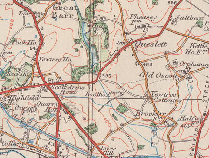
Developed after the end of World War 2, the shopping centre and amenities around junction of the Walsall Road with Newton Road and Queslett Road is popularly known as the Scott Arms after the Scott Arms Hotel which is shown though not named on the 1890 Ordnance Survey map. Records date the pub to at least 1830. The old pub was demolished in the 1966 and rebuilt as part of a shopping centre. The Scott family were first recorded in the area in 1332 and were the owners of Great Barr Hall from 1618 until 1909.
See Great Barr.
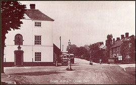
Below left: The Scott Arms. Image now out of copyright from jkc/ John K Colin on Old Birmingham Pictures.
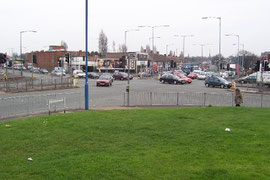
Below right: The Scott Arms, one of Birmingham's busiest crossroads. © Copyright Adrian Bailey and licensed for reuse under this Creative Commons Licence: Attribution-Share Alike 2.0 Generic. Geograph OS reference SP0494.

William Dargue 11.03.2009/ 25.08.2012
For 19th-century Ordnance Survey maps of Birmingham go to British History Online.
Map below reproduced from Andrew Rowbottom’s website of Old Ordnance Survey maps Popular Edition, Birmingham 1921. Click the map to link to that website.